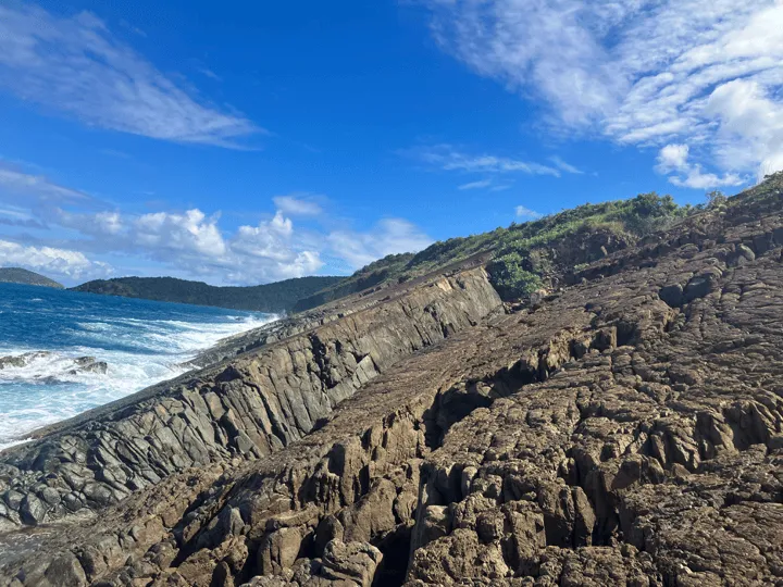
St. Thomas is a very rocky and hilly island, which makes sense given that the island’s nickname is “Rock City”. These rocky coves and steep hills make for some really interesting terrain to explore. From the sea it’s easy to get to these difficult to reach beaches, but from land your options may be a bit more treacherous. For some of the beaches on St. Thomas there are roads, well I don’t know if I would really call them roads, that go down the steep hills to the beach. These are roads that you definitely shouldn’t attempt to drive down if your car doesn’t have good ground clearance and 4 wheel drive. Trust me - I tried taking my Nissan Rouge down to several of these beaches and while I did make it, I sure was sweating the entire way.
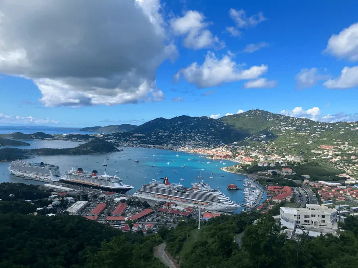
If you have the right car and the right tour guide the adventures down to these less seen beaches can make for a bumpy ride, but also one that you’ll never forget. Now let me take you on a trip down the road less traveled with 5 of St. Thomas’s best off-roading beaches. And at the end of the tour I’ll give you some suggestions for the best people on the island to guide you down these roads!
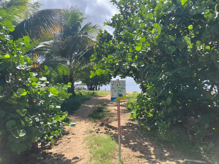
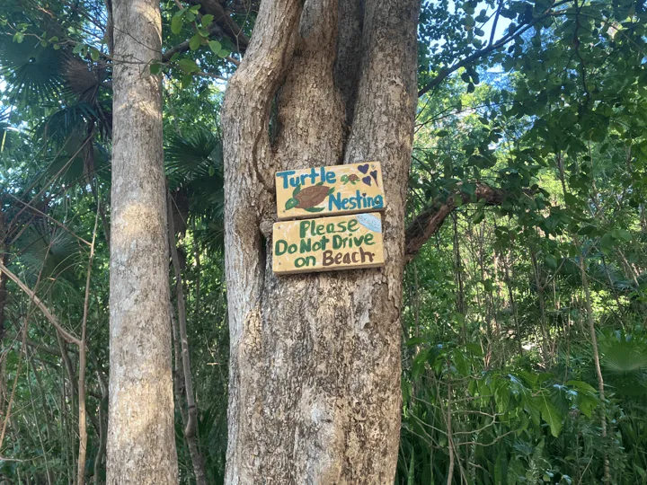
Note: You should never drive onto the sand at beaches, particularly these off the beaten path ones. Sea turtles lay their eggs up on the beach and we don’t want to disturb their habitat.
Abi
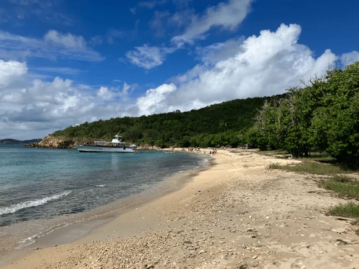
The first stop on our off-roading adventure is Abi Beach on the Southside of St. Thomas. This beach is located just 10 minutes outside of downtown Charlotte Amalia, but it doesn’t feel like you’re that close at all. Leaving town you travel through the wonderful rolling hills of the Southside until you get to an unassuming dirt road that appears out of nowhere on the right side of the road. It’s just past the entrance to the Limetree Resort. If you go down the steep hill (funnily named Donkey Hill) around the corner you’ve gone to far.
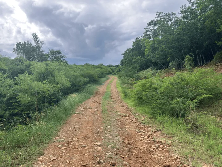
The road down to Abi is probably the easiest to drive down out of this entire list, but it’s still no walk in the park. There are a number of large rocks and un-even terrain that you must first traverse before getting to enjoy the beauty of the beach. You’ll really only run into problems with this drive if you’re not in one of the many Jeeps, Broncos, or other 4-wheel drive vehicles that are available on the island. If you’re on the more “island car” side you can still make it down to Abi, just make sure your vehicle has enough ground clearance, say about 8 inches should be fine.
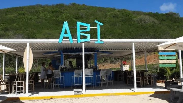
Now that you’re down to the beach here’s a little bit of history. Abi Beach got it’s name from the “Abi Beach Bar” that used to call this place it’s home back in the day. Unfortunately hurricane Irma took out the bar back in 2017 and it hasn’t reopened. However, the beach survived and now you just need to bring your own drinks. The beach is a popular spot among locals to hang out for the day in a comparatively quiet place for it’s nearness to the city. People will bring their dogs to let them off leash and some boats will come anchor up for the day to enjoy the nice sand and shady trees. There is also some great snorkeling in the area. You can swim all the way to the small cay just off the shore and see all sorts of marine life along the way.
Neltjeberg
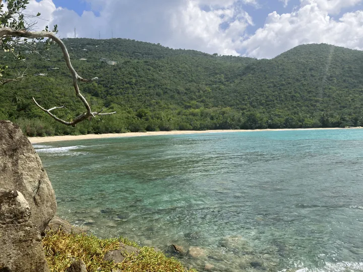
Now we head to the Northside of the island where the rest of our off-roading beaches will be found. We’ll start at the eastern most beach and head west, which means our first stop is Neltjeberg Beach. Neltjeberg is located just down the road (about 10 minutes) from the popular Hull Bay. Driving west down Crown Mountain Road (33) from 4 Corners the turn down the road to Neltjeberg will be on the right hand side of the road. It will be about 1/2 a mile past the fire station or the road down to Dorothea Beach for reference. You should look for a dilapidated concrete house with a red roof, which marks the spot where you should make your turn. Once heading down towards the beach you’ll eventually come to a fork in the road towards the bottom: the road to the right goes to the private villa on the point and left goes down to the beach where there is plenty of parking.
The road down to Neltjeberg you’ll find that the road condition is very similar to the one heading down to Abi. I think the road to Nelty is a little bit steeper and instead of large rocks protruding from the ground the main challenge with this road is the loose gravel and dirt in some steep sections. This makes coming back up a lot harder than going down so make sure you don’t have too many drinks when enjoying the beach! I’ve personally driven down in my Nissan Rouge a couple of times as well as a rented motorcycle so it’s definitely a great off-roading spot to get your feet wet.
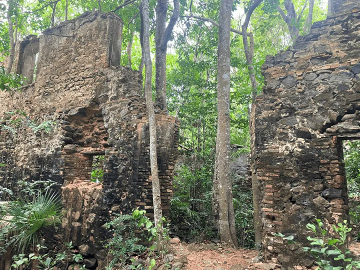
Neltjeberg (or Nelty to the locals because who knows how to pronounce “Neltjeberg”) is one of my absolute favorite beaches on the island. I used to live nearby in Bonne Resolution so whenever I got tired of the crowds at Hull Bay I would make my way down to Nelty to enjoy the quiet solitude and deserted island feel. If you go to Nelty in the early morning or around sunset you’ll likely have it all to yourself. Nelty has a lot of things to offer beach goers: you can collect coconuts from the many trees that line the beach, go for a swim and discover the amazing coral reef off the left side of the beach, explore the ruins, or bring a tent and camp under the stars.
Hendrik Bay
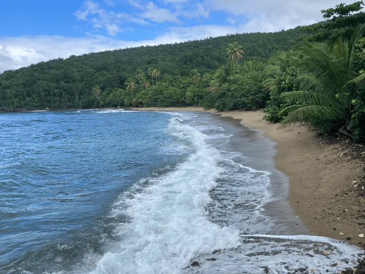
Our next stop on the tour is Hendrik Bay. Continuing down the road from the turn down to Neltjeberg another mile you’ll come to another right hand turn that takes you into a neighborhood. I’m not sure what the name of the road is, but it’s the same road that would take you to the hike down to Caret Bay. When you reach the first fork in the road you turn left and then you are officially on the road down to Hendrik Bay.
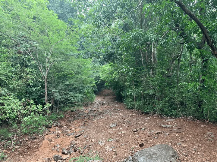
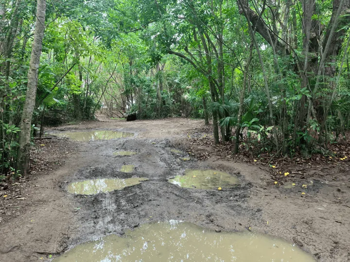
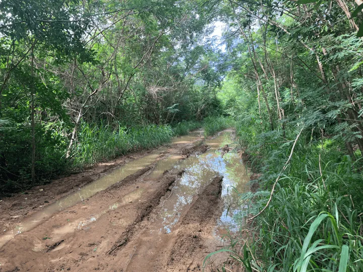
The road down to Hendrik is relatively mild in grade making it one of the easiest off-roading roads in this list. However, in in my experience this road truly lives up to it’s off-roading nature when it rains. The runoff rain water has a tendency to pool up in the ruts along the sides of the road making it extremely muddy to the point where I’ve heard from several people that they almost got stuck. You’ll definitely want to have 4-wheel drive to get through this stuff! Once you’re towards the bottom of the hill the road mellows out and goes through a beautiful little bamboo forest before arriving in the small parking area. There’s room for about 2 cars down right by the beach so if there are already people there you’ll likely have to park a little up the road.
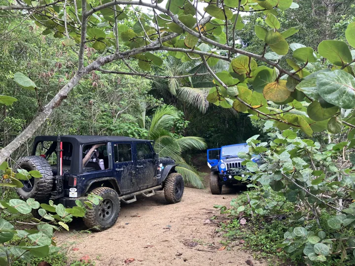
The beach at Hendrik Bay makes you feel like you’re in a deserted island movie. There are no visible houses so all you can see is the ocean in front of you and the palm tree lined jungle behind. This can make for a really fun day exploring the area and joying the natural beauty that the island has to offer. Just around the rocky point on the left side of the beach you’ll find Santa Maria Bay. If you’re a strong swimmer the swim over to the beach at Santa Maria isn’t too bad and you’ll see a lot of beautiful coral and fish along the way. I just strongly recommend you only attempt this on a calm day as the swell can make it difficult and dangerous. Otherwise you can enjoy what Hendrik has to offer: collect some coconuts, have a barbecue on the beach, and enjoy the sun, sand, and water!
Stumpy
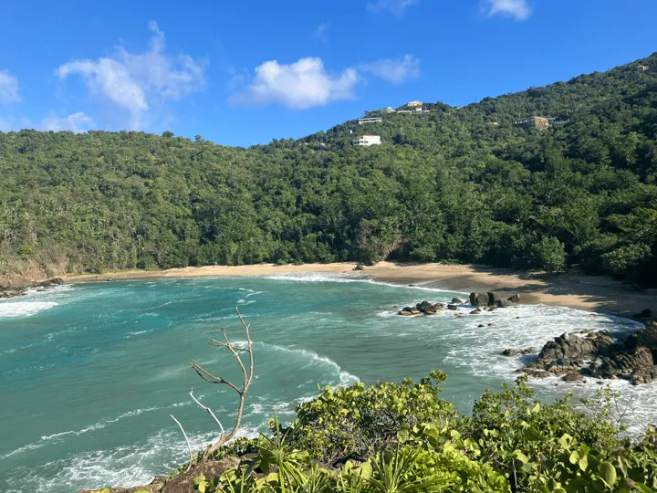
Now let’s drive further down the road and head down to Stumpy Beach! The road down to Stumpy beach is 1 mile down Fortuna Road past Perseverance Bay Overlook. The road is unmarked so you’ll need to look for a concrete wall with a chain fence on top and a large grove of palm trees behind it on the right side of the road on the right side of the road. This is where you’ll take the right turn down to Stumpy.
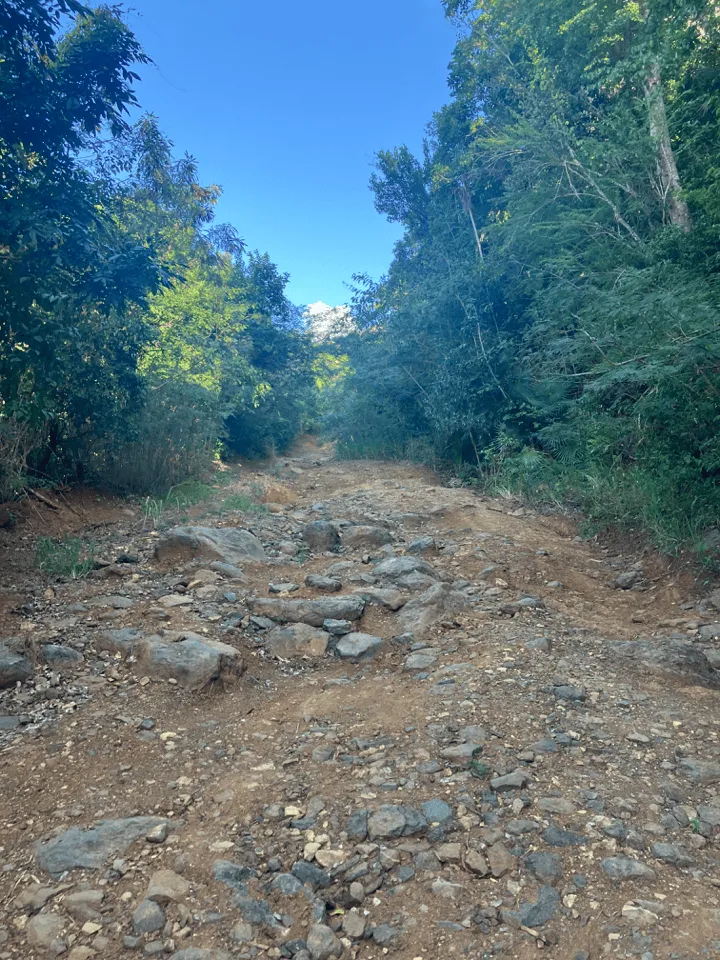
The road down to Stumpy is the shortest, yet the roughest on this entire list. Towards the bottom the road has eroded so much that there are now huge divots and ruts that you must navigate through to get to the beach. The road is so bad that this is the only beach that I would say just having a 4 wheel drive vehicle is not enough to get down to it. You’ll either need a lifted vehicle and extra big tires or a lot of experience off-roading in these kind of conditions to safely get to the bottom. This is where I’d highly recommend finding a Jeep excursion outfitter to take you down to this beach. I had one friend drive his Jeep to the bottom and get stuck for over 2 hours trying to get back out!
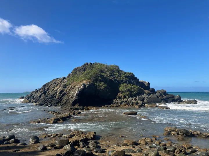
The beach and surrounding area at Stumpy are an equal match to the craziness of the road down. The beach is a large crescent with huge rock structures on each end. The most striking feature of the beach is definitely the huge stack of boulders on the left side of the beach, separated from the beach by a small channel that the water flows through. The mound of rocks is around 100 feet tall and you can climb up them to get a panoramic view of the entire beach and the bay. When the swell is really rough you can watch the huge waves crash into the rocks creating huge splashes from the top. The swimming in the bay is also incredible. There is a lot of coral structure out towards the middle where you can see an abundance of marine life.
Bordeaux Bay
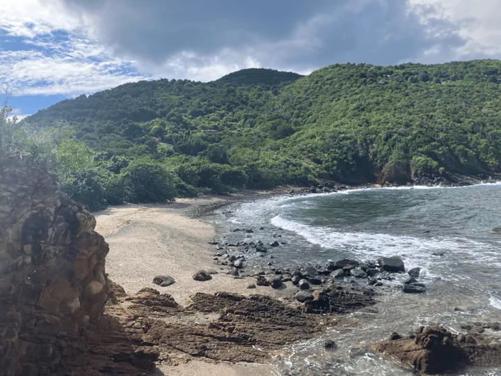
Our last stop on this tour is Bordeaux Bay, located on the nearly the far western end of the island. To get to Bordeaux Bay you’ll continue down Daisy Robelta Bough Memorial Drive past Stumpy and go down the large hill into the town of Fortuna. Here you’ll see a sign for “Daisy Robelta Bough Memorial Drive” and a small park on the left side of the road, which indicates where you need to turn right. From here you continue until a fork in the road where you turn right again and follow some switchbacks until turning right again at the next possible turn. Then you drive about 0.25 miles until turning left to head downhill, which will take you another 0.25 miles until there will be a turn on the left that will finally take you to the beach.
There is also another way you can get to Bordeaux, which I’ve outlined on the image below.
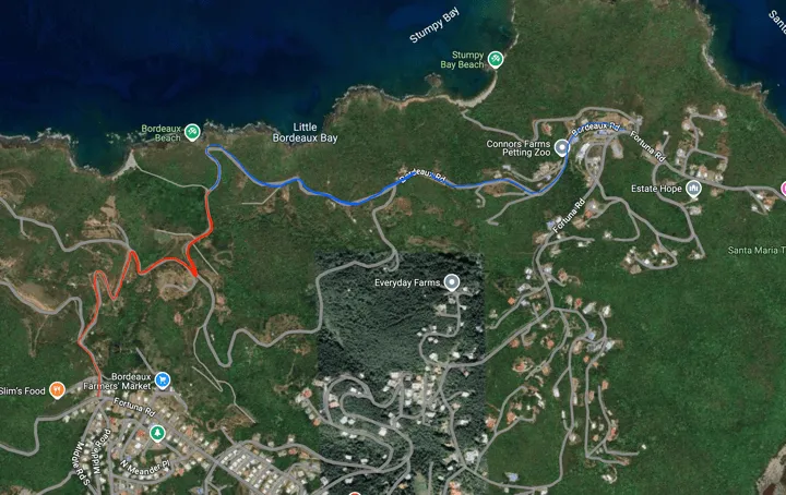
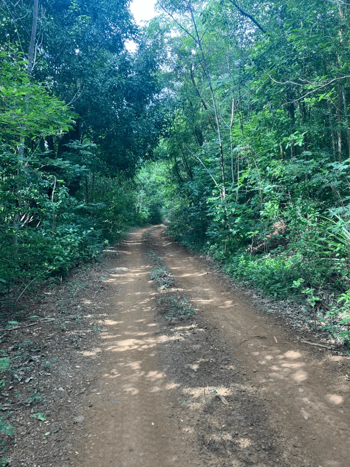
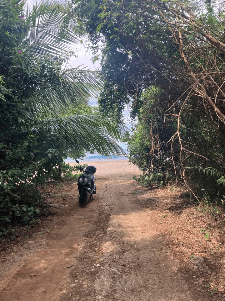
This part of the island (called the country) down to Bordeaux can be confusing with all the turns you have to make down un-marked roads. I’d highly recommend downloading the directions of maps before going as you’ll probably lose service. Thankfully though there’s not really anywhere you can get lost as you can always backtrack with relative ease! The road itself is rocky and steep in some sections, but nowhere near as rough as the one to Stumpy. In fact I took a rental moped down the first time I explored the area, which was a lot of fun. Down by the beach there is room for a couple cars to park, but if it’s full there is plenty of space along the side of the road.
Bordeaux Bay is one of the most striking places to explore on the island. The first thing you’ll notice on the beach is the ruins of a boat house that was a part of an old Danish Plantation. There is also another ruin up the hill from the beach back up the road and to the left. This one is more difficult to locate, but it’s worth it if you can find it! The sandy beach is also rimmed with a shallow coral reef that you can explore the tide pools in without even getting in the water.
The most striking feature in my opinion is the huge sloped cliffs just to the east of the beach. There is a path up the small hill just behind the boat house ruin that you can go up to get to the top of the cliffs. There you’ll find yourself up on a set of huge rocks that are sloped gradually enough to make walking on them safe. It’s such an incredible feature of geography that I don’t think I’ve ever seen something quite like it. Towards the water there are pools of water that you can explore and swim in. One of them is locally called the “Toilet Bowl”, but I’ll let you guess which one that is. As with anything related to the ocean - please exercise caution when swimming here as there is always the risk of a large wave coming in when you least expect it!
